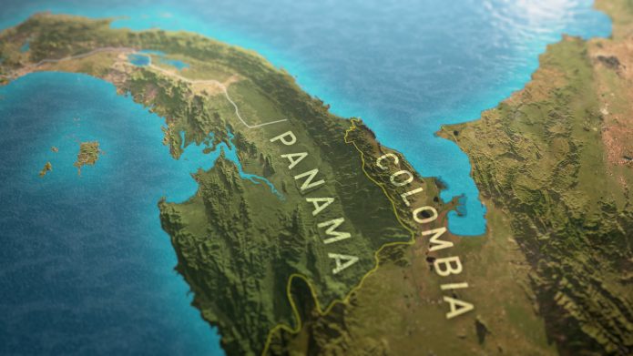
Working with Robert Grieves, we produced a series of 3D maps for the Channel 4 TV series, Walking The Americas. Using actual elevation data and the GPS of the routes walked, we created textured terrains that accurately represented the journey whilst conveying the tropical environment of Central America.
Several maps were made for each episode and an overall map travelling right from Mexico to Colombia as the title sequence for the series.
Broadcast January 2017